Scientific context
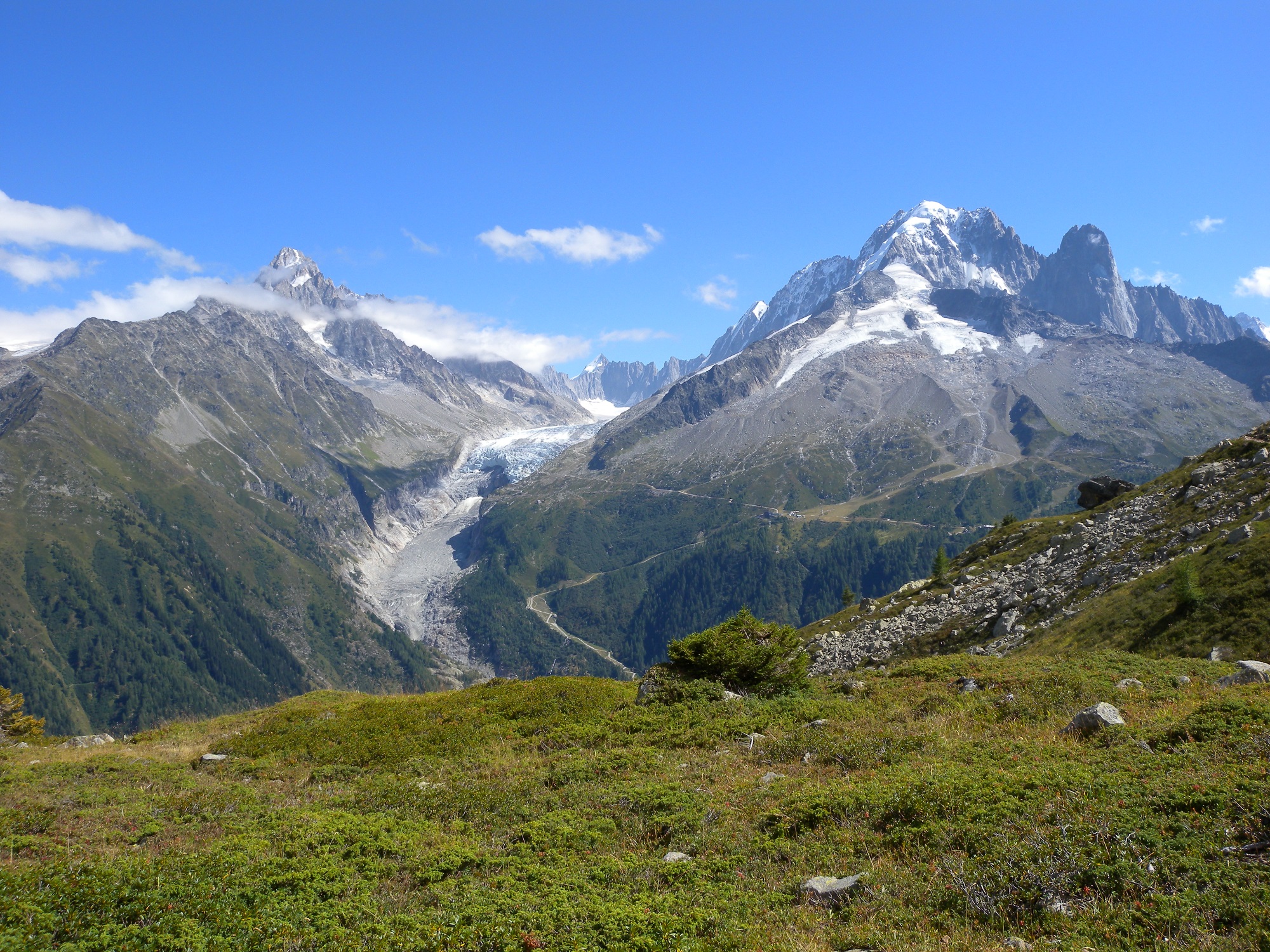
Alpine glaciers are major indicators of climate change in mountain environments. Their evolution is closely linked to variations in temperature and precipitation, making them sensitive markers of climatic transformations observed since the end of the 19th century.
Across the Alpine massif, glaciological observations show a progressive retreat of most glaciers for more than a century. This trend has accelerated over recent decades under the influence of global warming.
The interactive map presented in this atlas allows users to explore several Alpine glaciers and access key descriptive indicators:
- Average glacier altitude
- Estimated glacier surface area in square kilometers
- Temporal evolution of glacier surface since the 19th century
These indicators help analyze glacier dynamics and better understand recent changes affecting Alpine glaciers in the context of climate change.
The dataset currently used in this observatory covers several glaciers located in the French Alps. A future extension may integrate other glaciers across the European Alpine massif.
Glacier information
Select a glacier on the map to display its characteristics.
Average glacier altitude
Estimated average altitude of the selected glacier. This value helps position the glacier within the altitudinal context of glaciers in the French Alps.
Indicator: average altitude (meters).
Glacier surface area
Comparison of the selected glacier surface area with major glacier surfaces observed in the French Alpine massif.
Indicator: estimated glacier surface area (km²).
Historical glacier evolution
Estimated evolution of glacier surface area since the end of the 19th century. The general trend observed across the Alps shows a progressive retreat of most glaciers.
Source: historical glaciological datasets and recent estimates.